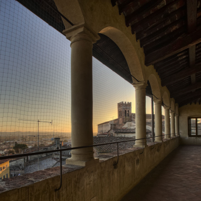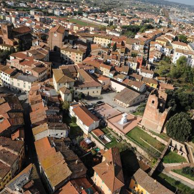
Over time, the Francigena increased its importance, becoming also the hub of intense trade and commerce, as well as being used by numerous armies in their travels. Fucecchio, who at this pilgrimage route owing part of its initial development, was part of that part of the route that, after touching Lucca and Altopascio, went into the woods of Cerbaie and passed the Arno and then continued in the direction of Siena and the Lazio territories.
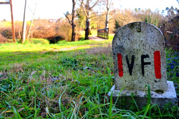
In The manuscript notes of Sigeric relating to the crossing of the Arno, there are both "Arne Blanca" and "Aqua Nigra", respectively the stages 23 and 24 of the journey back to England: they refer to today's Fucecchio and the passage to Ponte a Cappiano. More precise information can be found in the introductory text of the Valdarno Museum Network below, which reads:
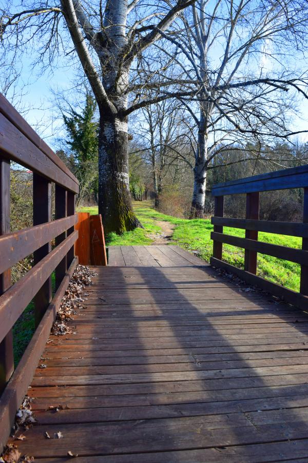
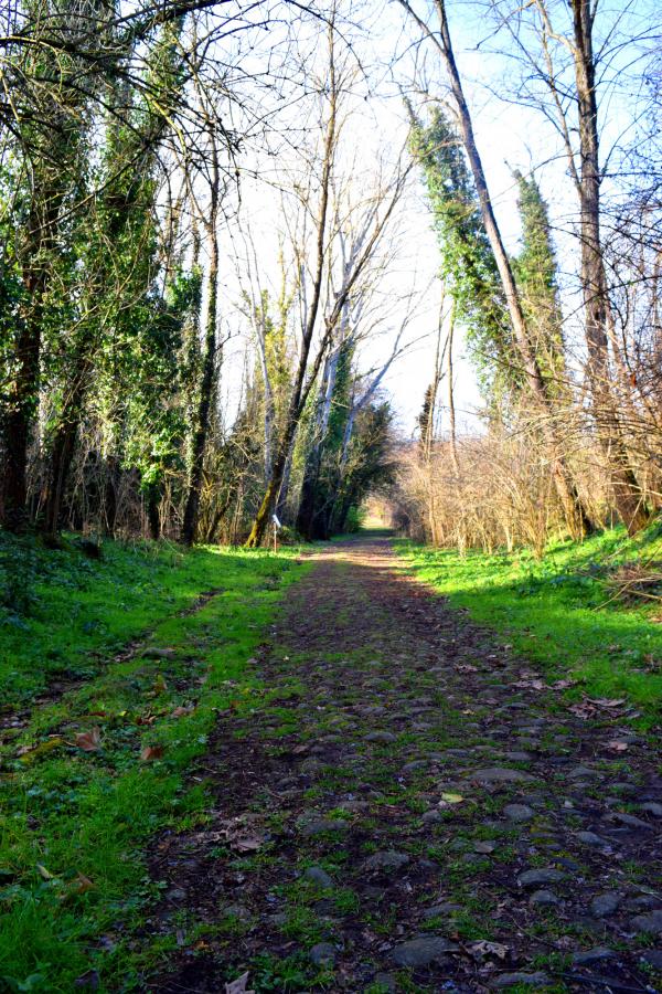
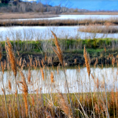
For the crossing of the Valdarno the Via Francigena, left the hospitable center of Altopascio, entered the woods of the Cerbaie hills, the only possible route to avoid the wet areas of the Bientina marsh to the west, and that of Fucecchio to the east. In a baricentric position in the Cerbaie, Galleno, quoted by Philip Augustus of France returning from the third crusade (1191), was a foothold in the road. Further south, the route passed through the small hospitals of Santa Trinita di Cerbaia (founded in the 12th century) and Malatia, known since the 13th century. From this point, there are two distinguishable guidelines; an older one that crossed the Usciana river at Cappiano, perhaps the Black Arno mentioned by the abbot of Thingor (1151-1154) and Philip of France. He then walked along the plain, along a path that in all likelihood originated from the centuriated agrarian accommodations of Augustan Age, and not by chance, established a border between the communities of Fucecchio and Santa Croce. Later, at the end of the 13th century, this route was modified by doubling it into two ways: one straight to Fucecchio, the other to the bridge of Rosaiolo on the Usciana. In any case, it then reached the Arno Pass controlled by the Cadolingio castle of Salamarzana, origin of the municipality of Fucecchio. The next route was to head to the present town Roffia and then to the village of Vico Vallari (San Genesio), quoted by Sigeric (990-994) and Filippo Augustus (1191), and then to the Valdelsa.
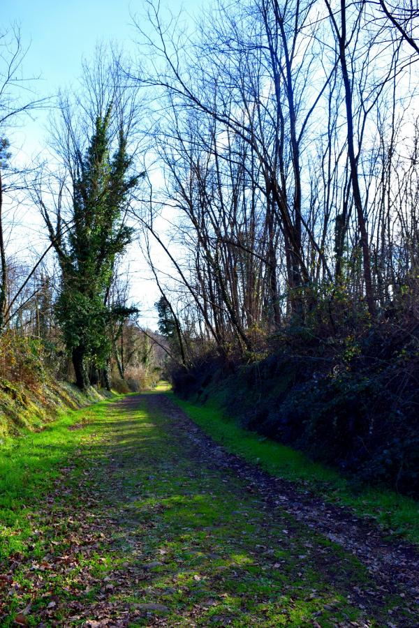
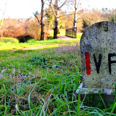
To date, this ancient pilgrimage route can be walked, driven by car, or ridden on a bike or on horseback: in Tuscany alone, there are about 380 kilometers of track that cross 39 municipalities, and that allow you to rediscover wonderful landscapes and villages rich in history and Culture. Just in the hamlet of Galleno was recently inaugurated the tourist cycle route of about 45 km that crosses the municipalities of the south center area (Fucecchio, Santa Croce sull'Arno, Castelfranco di Sotto, San Miniato, Castelfiorentino, Montaione and Gambassi Terme): the journey to the heart of Tuscany continues.
Discover the stories inspired by the regional stages of the Francigena on the Toscana Ovunque Bella website (Tuscany, beautiful everywhere)
Source: The Via Francigena through the Valdarno, a brochure by the Museum Network in Valdarno DI Sotto